Virtual Exhibit

Blueberries for everyone

The landscape and plants of our county

There was blueberries for everyone.

-pg. 318, Wagon Trails to Hardtop

The historical perspectives offered in this exhibit have been gleaned from the history books compiled in the past by our local historical societies, namely Wagon Trails to Hardtop, Land of the Lakes, and From Pioneers to Progress. Therefore, these perspectives have been provided by the early European settlers of this region, often by the mothers, daughters, and granddaughters that came before us. Sometimes by the first person in a family to settle, sometimes by someone in the next generation. So, it is necessary to consider some of the information presented through that lens. In this exhibit, we invite you to consider the land we live on, the plants that grow on it, and how this has changed over time.

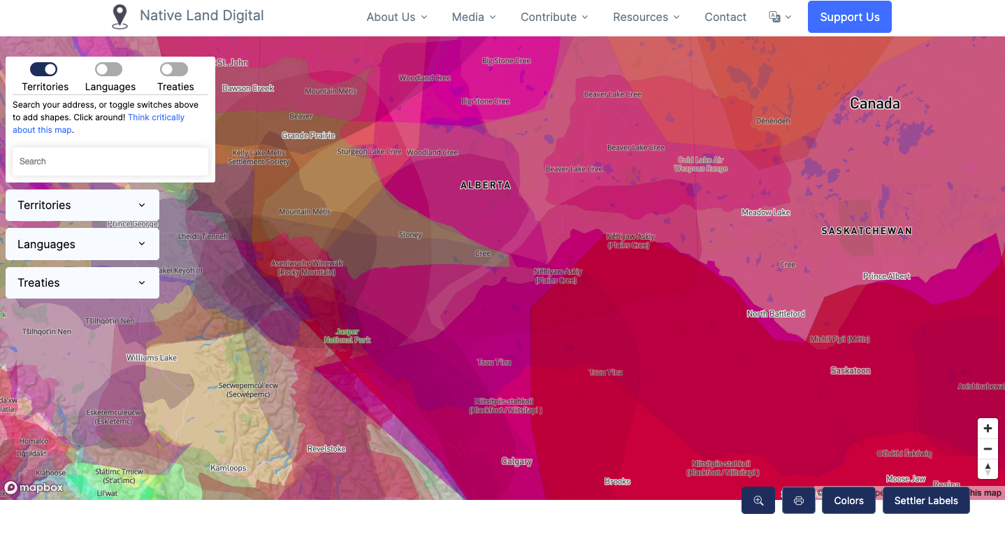
This land that is being covered, Lacombe County, exists in Treaty 6 territory. We invite all guests to read Treaty 6 and learn more about what it means to be treaty people. This land also resides in Métis Nation Region 3. This land is the traditional territory of plains peoples. Of the Nêhiyaw, Métis, Niitsítpiis-stahkoii, Očhéthi Šakówiŋ, and Tsuu T’ina peoples. The county contains sites of great significance to First Nations and Métis peoples as well as important historical travel and trade routes. First Nations, Métis, and Inuit peoples have traveled, traded, told stories, and had relations on this land for millennia. A connection to the land is also a connection to the plants, and animals, that live here.

Native-lands.ca Interactive Map

With the interactive map from Native-Lands, you can explore in more detail the traditional territories that you reside on. The map can be filtered by: territories, languages, and treaties. To add modern-day political boundaries and settlements to the map click “Settler Labels” at the bottom right.

EXPLORE THE MAP NOW

The Land

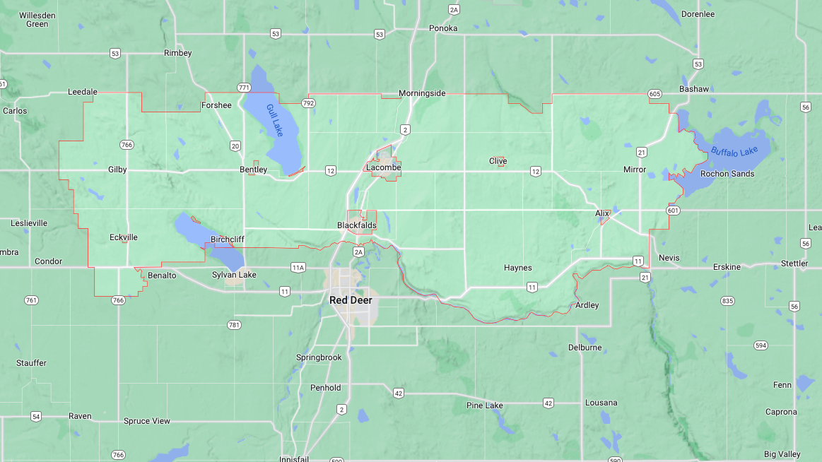
The land that is talked about throughout this exhibit is Lacombe County. This is a large, and diverse area. To the east this land touches the shores of Buffalo Lake, to the south the border touches the north shores of the Red Deer and Blindman Rivers, as well as Sylvan Lake. Westward the county stretches just past the Medicine Lodge Hills. And to the north the county generally lies south of township 42 while also hugging the shores of Gull Lake.

If you were to drive across the county much of the land would be similar in appearance as the entire county lies within the Central Parkland Region, but such a large area is definitely not uniform. If you began in the west, you would see large stretches of farm land that will become extremely familiar throughout your drive.

Open fields would stretch out in all directions, but as you drive east the land would make a dramatic change as you approach the Medicine Lodge Hills which reach elevations of just over 1000 meters. The peaks of these hills can be seen from great distances in all directions. The land around the hills gives a brief break from vast sections of farmlands and reminds of the wilderness that once covered this particular area. To the south you might see the shimmer of the shores of Sylvan Lake. You will cross the Blindman River, and pass Bentley, before you need to peek through the trees lining its shores to get a glimpse of Gull Lake. The straight stretch of Highway Twelve will let you see Lacombe for some time before you drive through. Taking this relatively straight route on Highway Twelve will mean you miss the well treed shores of Lacombe Lake, the long, narrow length of Blackfalds Lake cut into sandy shores, the high banks of the Red Deer River, but also the low banks of sections of the Red Deer, and Blindman, Rivers that allowed for river crossings in the past. You might get the sense as you go eastward that the land is holding more water. This end of the county is full of sloughs, ponds, and lakes.

Some of these bodies of water are named: Chain Lakes, Alix Lake, Gadsby Lake, Haunted Lakes, Parlby Lake, but many are not. Buffalo Lake is impressive in both size, and shape. Its many coves, bays, islands, and surrounding wetlands have attracted people long before European settlers ever arrived in this area.

The Landscape

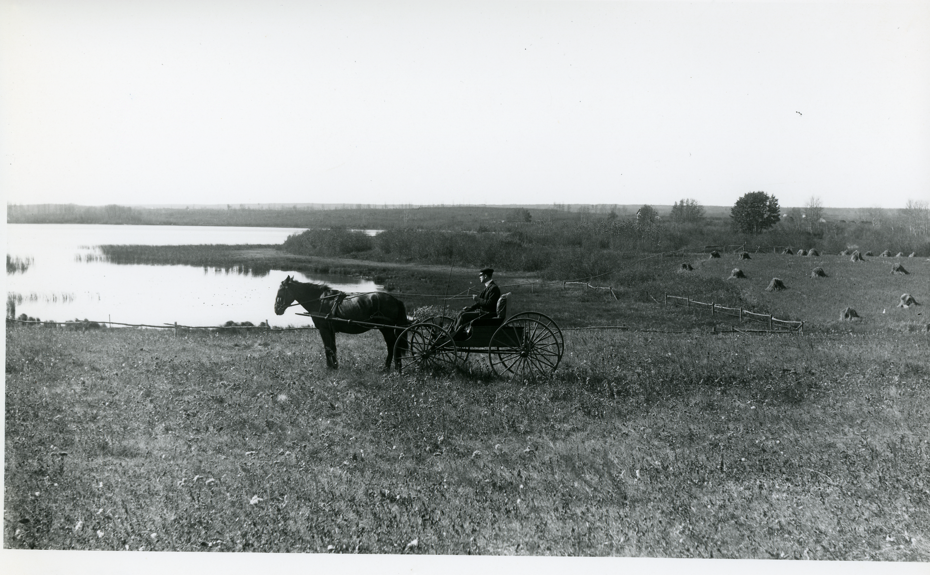
The landscape has been shaped by human hands for as long as humans have lived on the land. Before European settlers arrived to this area the land was already marked and named by the people that were living here. The landscape in the Eastern part of the county at Buffalo Lake and Tail Creek had been home to Metis people that came to hunt bison in the winter months. They would have had names for the places where they lived and hunted. They left behind cabins that are now indentations upon the landscape. Settlers reported finding large numbers of bison bones in many areas of the county, left behind from numerous hunts over the years. Around the province the shapes of cliffs and hillsides have been altered due to bison hunting. Trails criss-crossed the region long before roads, railways, or permanent European settlement. The well-worn routes carved paths of least resistance into the landscape to aid travel and trade.

Before the arrival of Europeans Indigenous peoples used traditional methods to tend to the lands in North America. In many areas fire was used. There are many different benefits to controlled fires. Fire can rid areas of disease, prune dead branches, and encourage regrowth of certain plants. The landscape was influenced by these practices that often were used to ensure adequate amounts of food could be harvested. Controlled fires can prevent larger, destructive wildfires as they use the plant debris that would be fuel for such a fire. They can also be used to manage the grazing of bison. A fire would result in new grass growth that could attract bison in the following growing season.

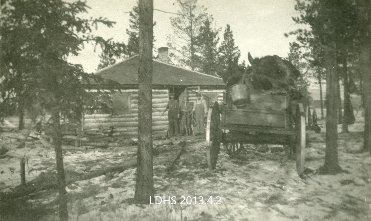
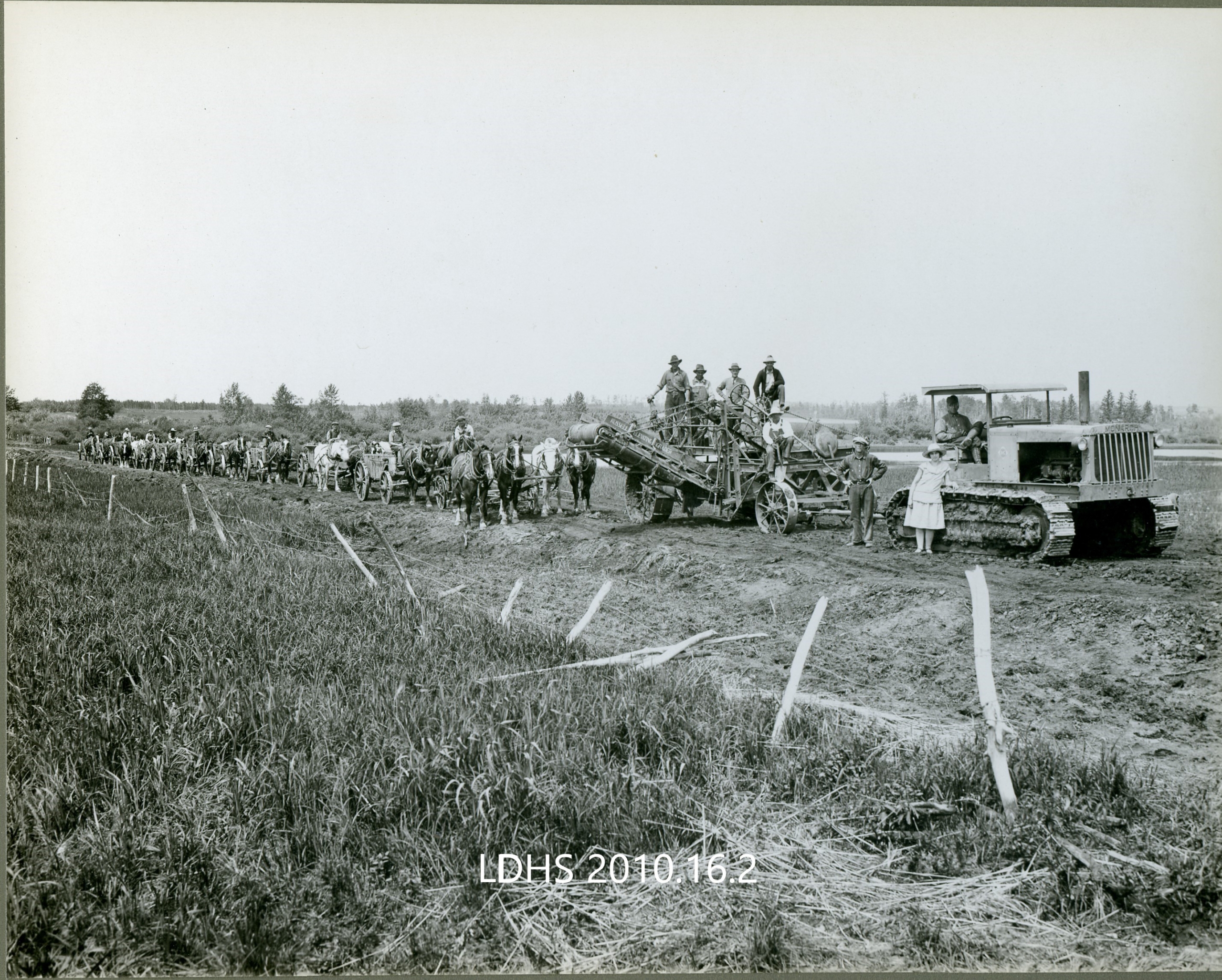
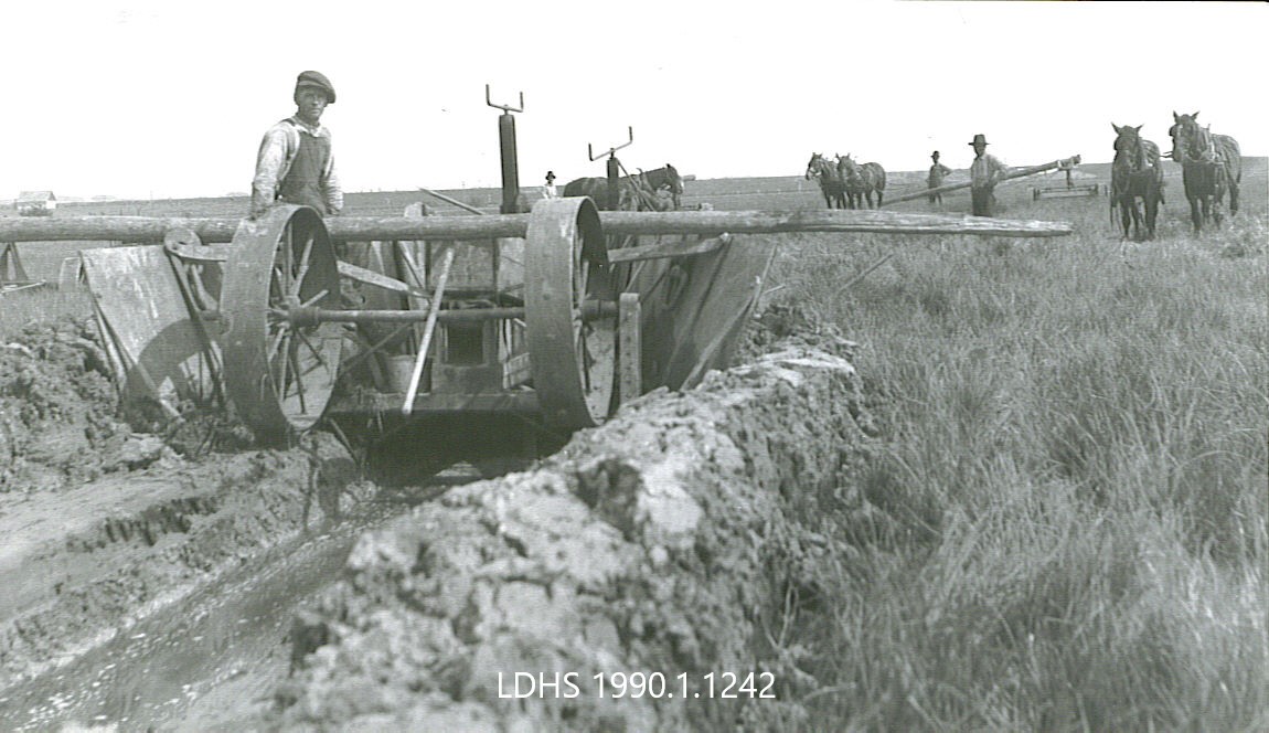
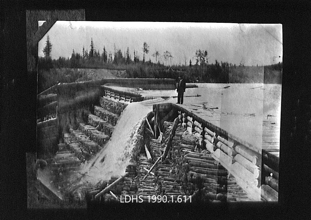
Settlers arrived to, and in many instances subsequently abandoned, homesteads and other endeavors. The landscape tells their stories through the things they left behind: the foundations of houses, stoves that were too heavy to move, rubbish piles full of jars that will never break down, remnants of saw-mills left in the woods, and plants that they introduced to the landscape when they arrived and filled their yards with gardens of familiar flora. Once people permanently settled, larger and more permanent changes were enacted upon the landscape. Agriculture began, roads were built, water drained and rerouted, trees cut down.

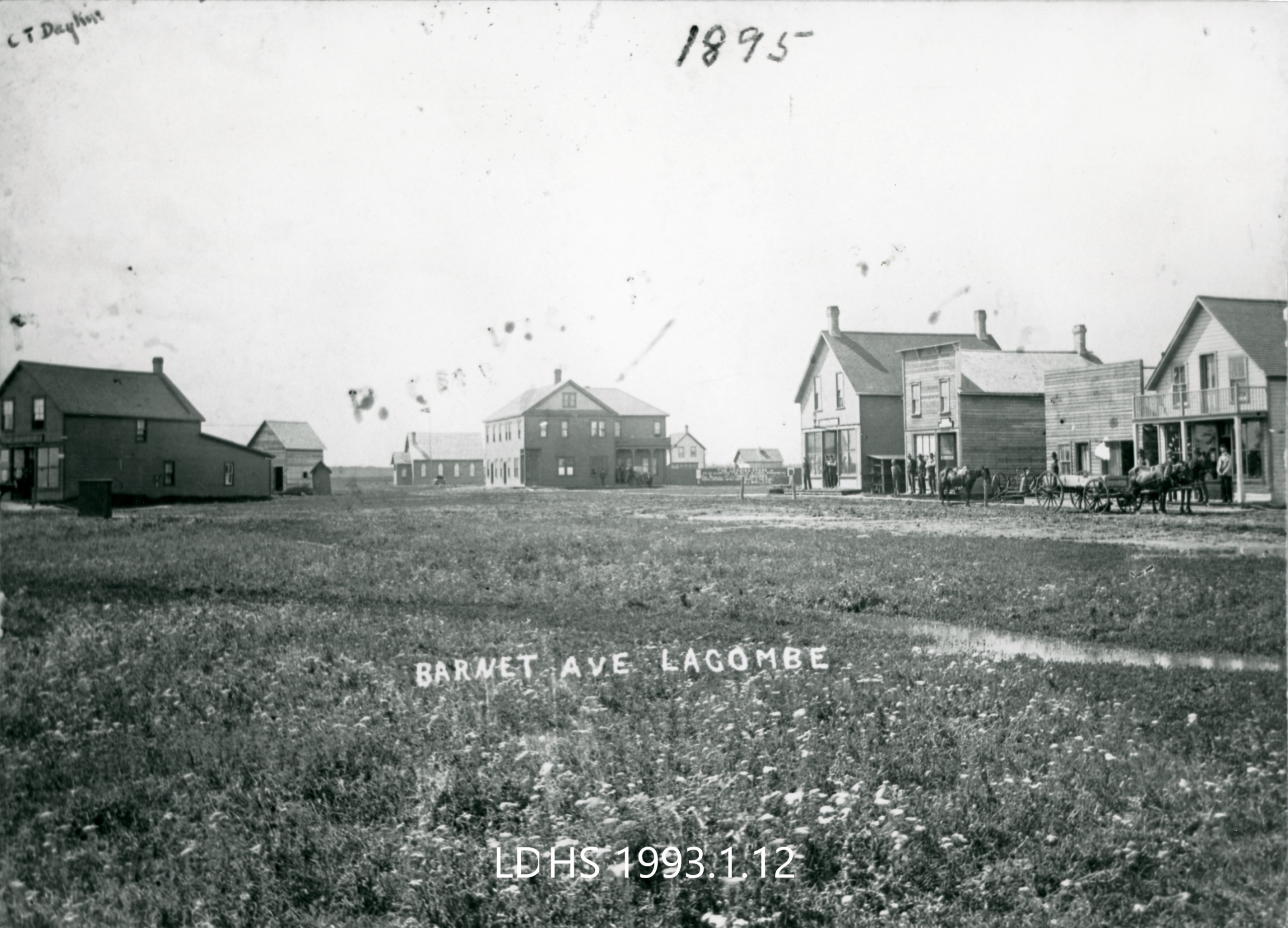
People name the landscape. To make it easier to find our way through it, to make it easier to tell our stories, and to describe the relationship that we have with it. Lacombe has not always been called Lacombe. Each name it has had describes a different relationship that the people living here have had with it. Lacombe of course evokes Father Lacombe. But before it had been referred to as Strawberry Plain, Siding 12, and Barnett’s Landing. Strawberry Plain could refer to an abundance of the aforementioned fruit, but the source that uses this name does not provide further explanation. Siding 12 was a utilitarian name provided by the rail company. Barnett’s Landing refers to the first European settler in Lacombe and the stopping house he operated.

Did You Know

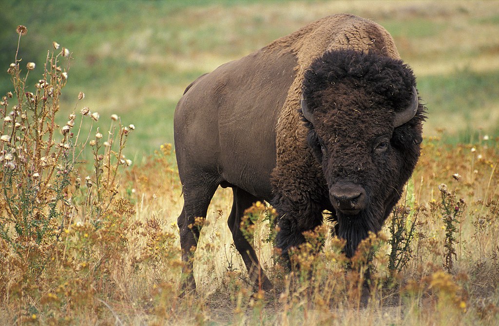
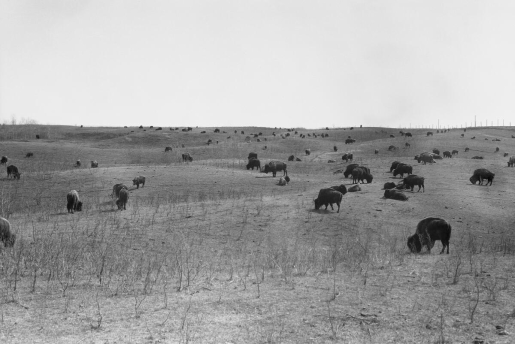
The bison that once roamed the North American prairies in great numbers also greatly impacted the landscape. Bison of course would fertilize the grasslands with their manure, and with their remains when they passed away. They would also create wallows, or little indentations when they had dust baths. These wallows are important parts of a prairie ecosystem. They can attract pioneer plant species that like to take advantage of freshly disturbed soil, and can eventually hold water. This creates small ponds that serve as homes for both flora and fauna that require moisture to thrive. Their coats, which are much denser than that of cattle, can collect seeds, which are redistributed as they travel. The seeds in their coats can end up far from their original source when the bison sheds its coat helping to increase the density and diversity of some plant species.

The natural environment that we live in on the prairies and in the parkland region developed alongside the bison, with each needing the other to thrive.

  • Bison bison. Jack Dykinga, Public domain, via Wikimedia Commons

Central Parkland Region

“In its native state, the ground was covered by poplar and willow trees.”

-pg. 254, Wagon Trails to Hardtop

All of the land that was passed over in the imaginary drive of The Land section, and a majority of the areas of Alberta with the densest population, lie within the Parkland Region. This region is the very northern tip of what is referred to as the Great Plains and was once home to bison herds. This means that the Central Parkland rests against the grasslands that are characteristic of the Great Plains, but also contains patches of willow and aspen that have earned this region the nickname “Aspenland”. The glaciers that once covered most of North America left this region with its characteristic low, gently rolling hills. The wetlands that make 5-10% of this region are sometimes referred to as the “duck factory” of North America.  

The Parkland Region is unique to North America. It is estimated that today only 5% of the Central Parkland remains as native vegetation, yet 20% of Alberta’s rare, vascular plants can be found in this region. The areas that remain homes to native vegetation are unsuitable for agriculture so have managed to be uncultivated. 

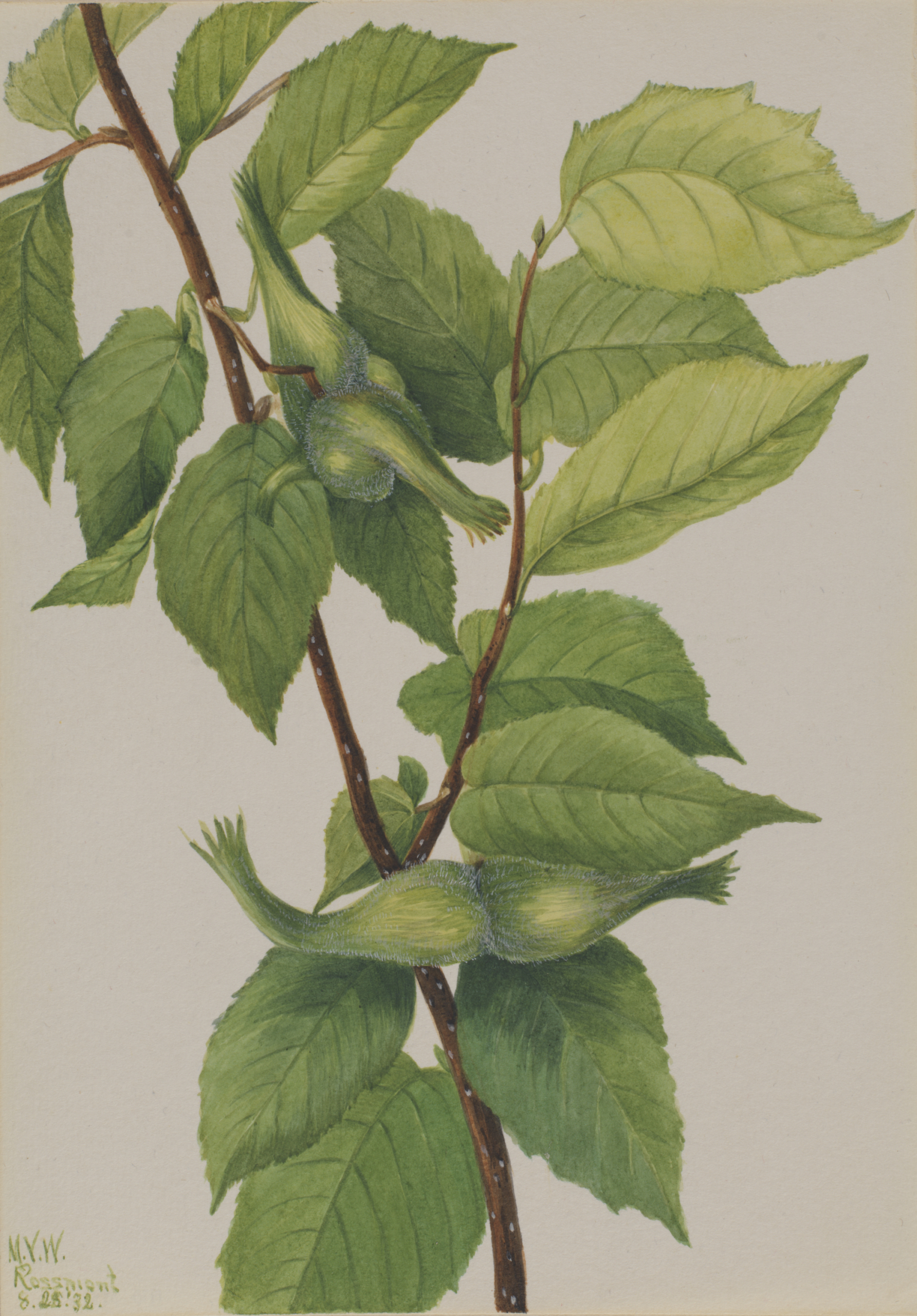
The area Lacombe County lies in is specifically a part of Central Parkland. The southeast of this region is the driest, so is where the most grassland-type characteristics can be found. This would make a mixture of grasses and plants like pasturewort dominant. Moving toward the northwest means moister conditions and more and more aspens. Plant species like beaked hazelnut, bunchberry, wild lily of the valley, and wild sarsaparilla occur in central parkland but not in its neighbour directly west, the foothills. 

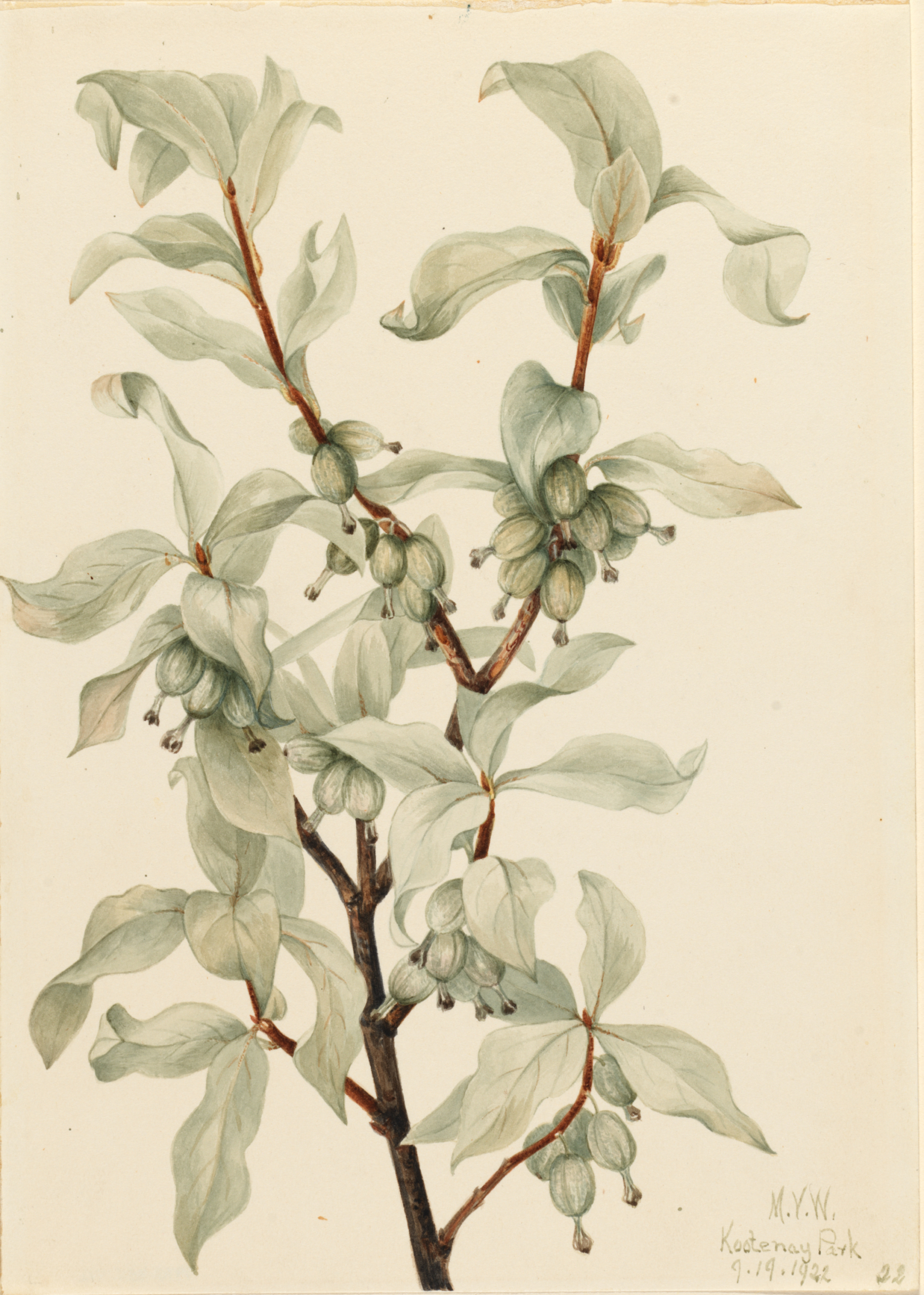
On light to moderately grazed sites plains rough fescue shares dominance with perennial herbs like prairie crocus, prairie sagewort, wild blue flax, northern bedstraw, three flowered avens, buckbrush, silverberry, prickly rose, chokecherry, and saskatoon are found throughout the region. 

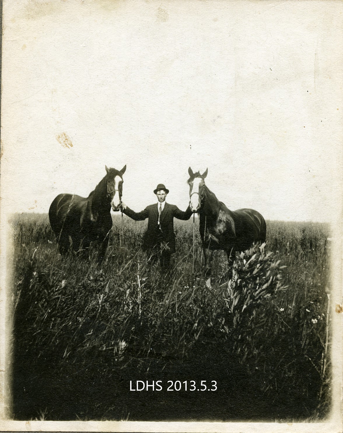
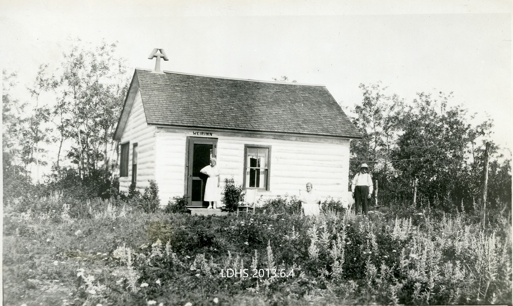
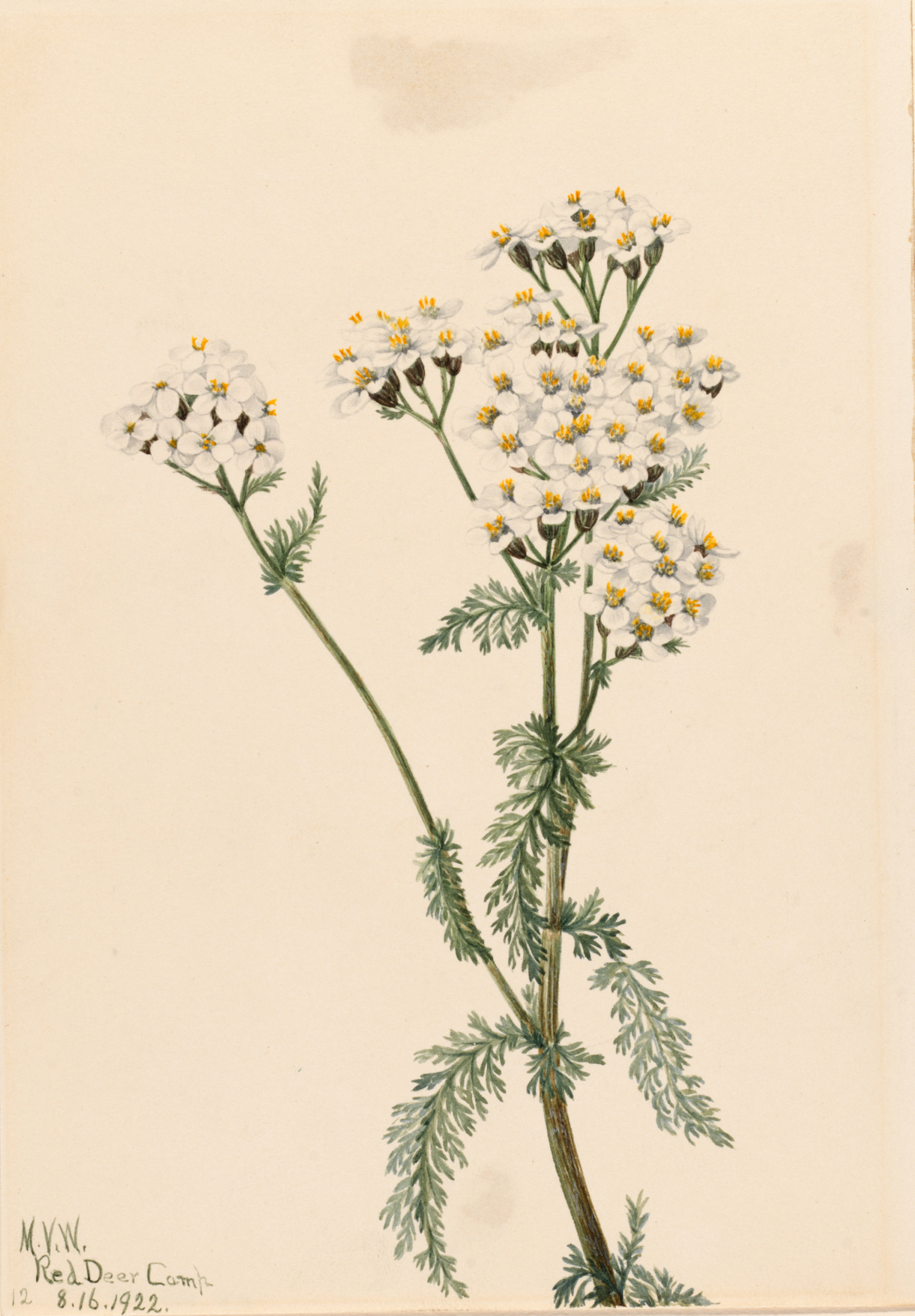
The following photos from our collection are all from the early 20th century and were taken in different places around the county. Each was chosen as we can easily see the diversity in the plant life in the photos even if it is difficult to identify the plants themselves. In the photo taken in Lacombe we can see an abundance of flowers and grasses growing before major building developments disturbed their habitat. The picture at Gull Lake shows an amazing diversity of typical Central Parkland plants including what appears to be yarrow and an artemisia variety (prairie sagewort) among the grasses.

Fauna Past and Present

“There must have been many such plants across the prairie that might have produced excellent strains of their kind, well suited to this climate, but lost because the plow preceded the botanist.” 

-pg. 38, Land of the Lakes

When looking at how the land and the landscape has changed over time it is very easy to come across references to plants that we are no longer familiar with in this area. As stated at the beginning of the page the historical perspectives used in this exhibit are from local history books. The books often allowed local families to submit their own account of their family’s settlement in the area, either through first hand experience or via recollections of stories that the person submitting the story heard from older family members. The accounts can span from the first settlement in the late 19th century, usually to the 1930s if covering the “first” settlers. This is both a large range in time, and small, when we consider that in just a few decades the way the land was used had completely changed. These accounts tell us about a land that is alien to its modern residents. 

Agriculture, though an important part of prairie life and our modern-day economy, has decimated native plants in our Parkland home. As the quotation that is used for the subheading implies, we unfortunately lost the biological diversity of this reason due to the plough. We now know that the native plants of the prairies had incredibly important roles in their ecosystems that settlement and agriculture disrupted. Native animals and insects, like bees and butterflies, adapted to the native plants that they live side-by-side and rely on them for food. The native plants of this region, especially the grasses, have incredibly large root systems which ecologists are still trying to understand but may guard the land from erosion, could help hold moisture in the ground, and can help plant life be return after a fire. 

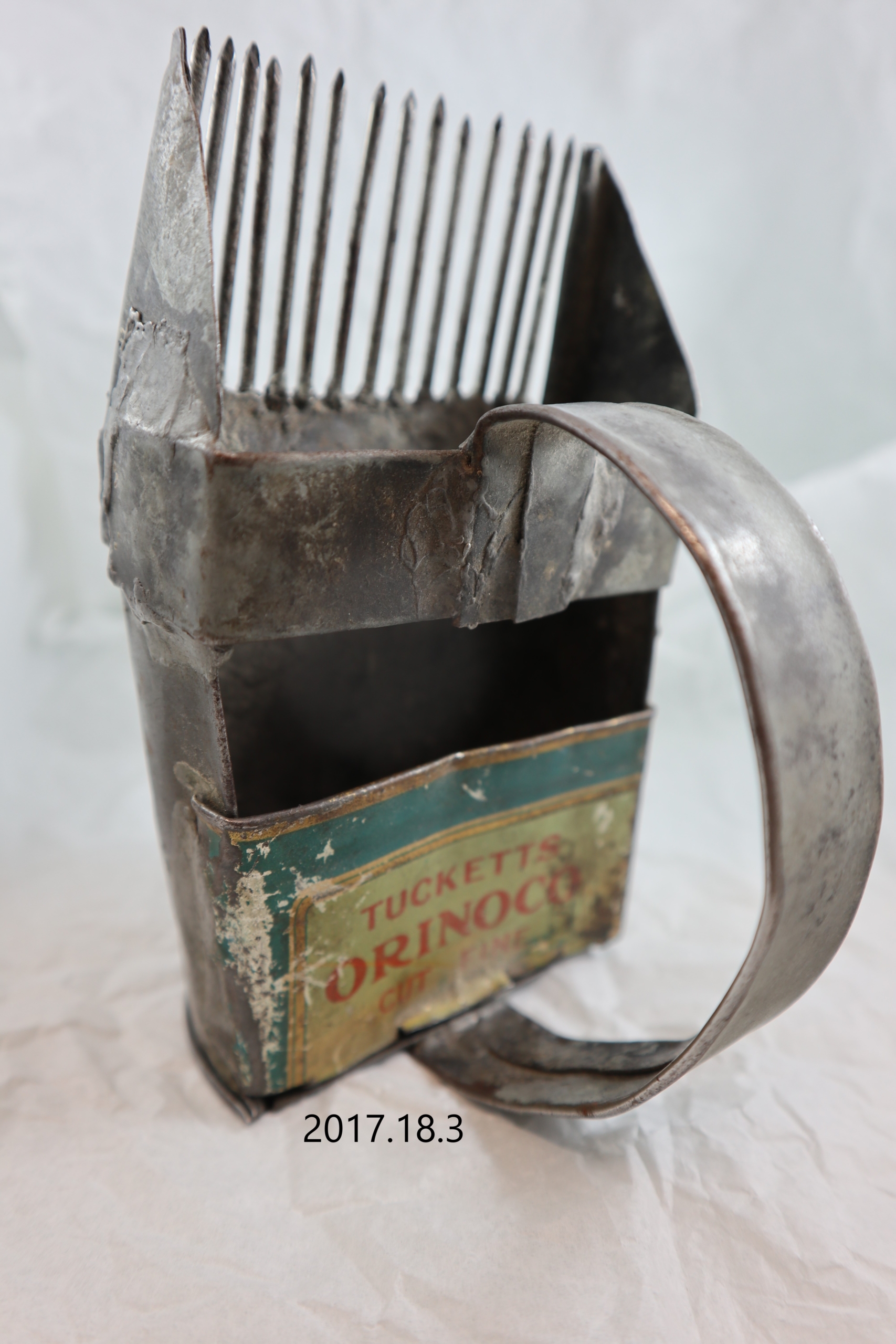
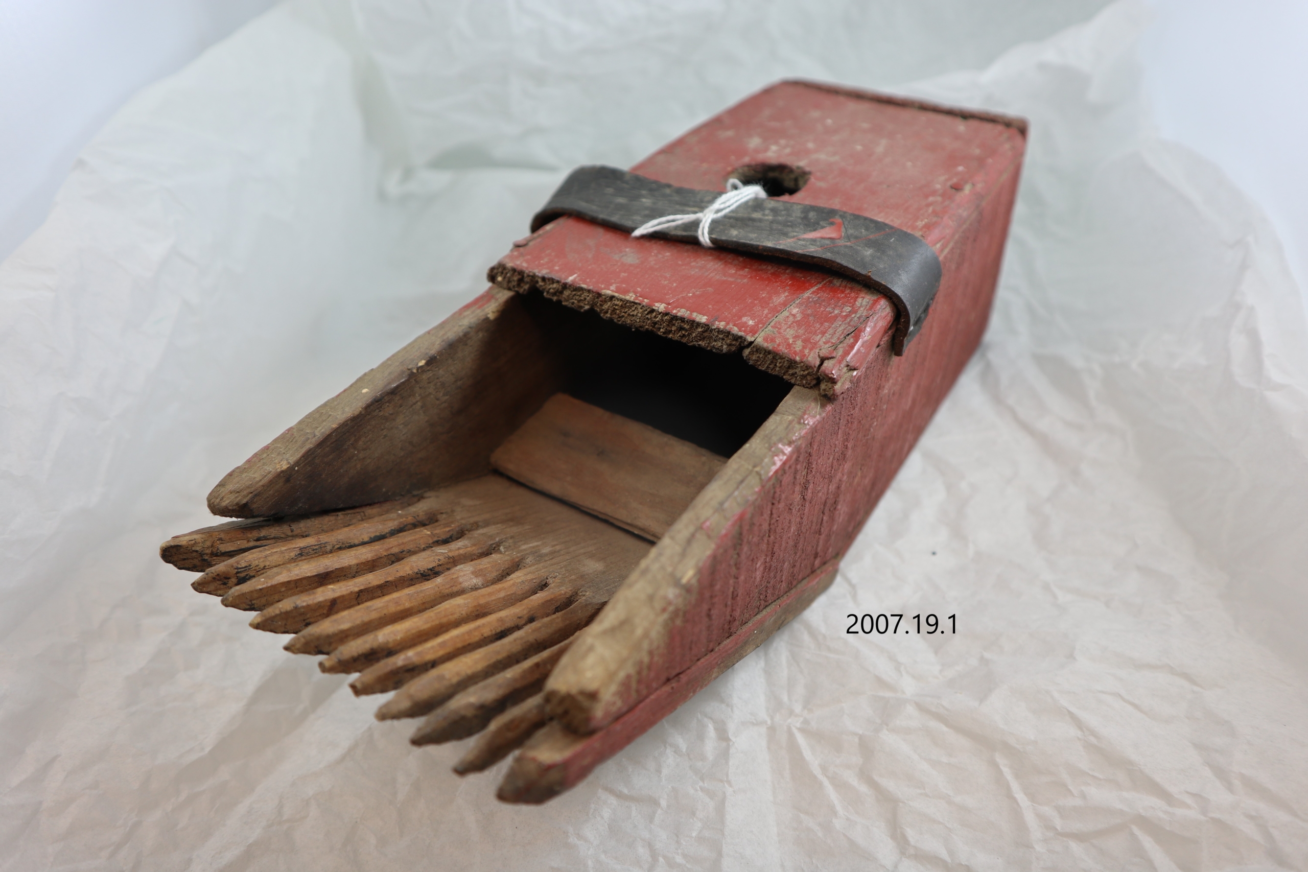
One such change, and one such disappeared plant, is blueberries, the plant that gave this exhibit its name. Perhaps some people in the county have treasured secret blueberry patches on their land but they are no longer found in the numbers those early settlers knew. The multiple accounts about this plant in local history books would lead a reader to believe that just a few decades ago the landscape was a blanket of the humble, low growing blueberry bush. Every corner of the county seems to have an account of settlers picking blueberries by the bucket full. The museum collection contains more than one example of blueberry pickers due to the prevalence of this plant just a few decades ago. The low-lying fruit would be combed off the plant into a scoop, making their harvest with a picker more efficient than plucking the fruits by hand.  
Many other flowers and plants referenced in local history books have declined greatly in numbers, some now only extremely rarely spotted by humans.

One day while out breaking the land they saw in the distance the ground blue with blueberries. They stopped breaking the land and picked tubs full of berries which they ran through the fanning mill to blow out the leaves.

-pg. 392, Wagon Trails to Hardtop

Native Fruits

“It was said that blueberries were so plentiful near the river as to have the juice drip off the wagon wheels.”

-pg. 2, Wagon Trails to Hardtop

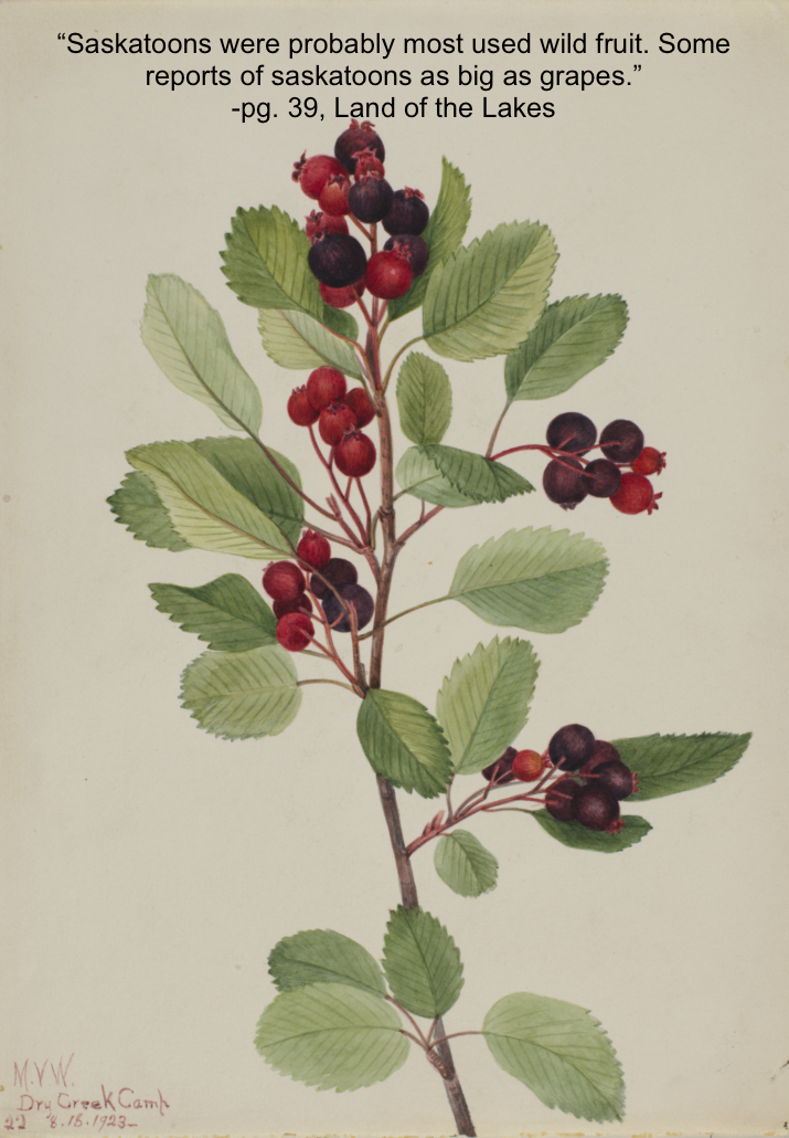
The accounts of wild fruits in this area, just as with wildflowers, speak of abundance. While blueberries may be relatively unfamiliar as the land is no longer blanketed in these plants, the rest of the fruits may be familiar to those that spend time in the wild corners of the county. Many of the fruits may not exist in the numbers that the early settlers would have seen, but they have not been pushed out of their former habitat yet, just to the edges that are unsuitable for agriculture. The land is home to many fruits: saskatoons, strawberries, cranberries, pincherries, chokecherries, dewberries, currants, gooseberries, and hazelnuts.

It has been many years since wild fruits could be found in any quantity.

pg. 39, Land of the Lakes

Wildflowers

“The hills and meadows were a blaze of colour from wildflowers.”

-pg. 37, Kid Ray, Land of the Lakes

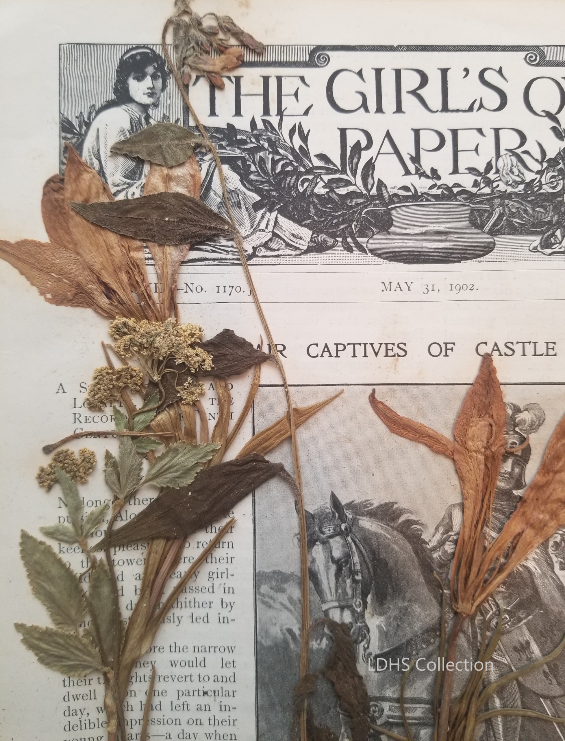
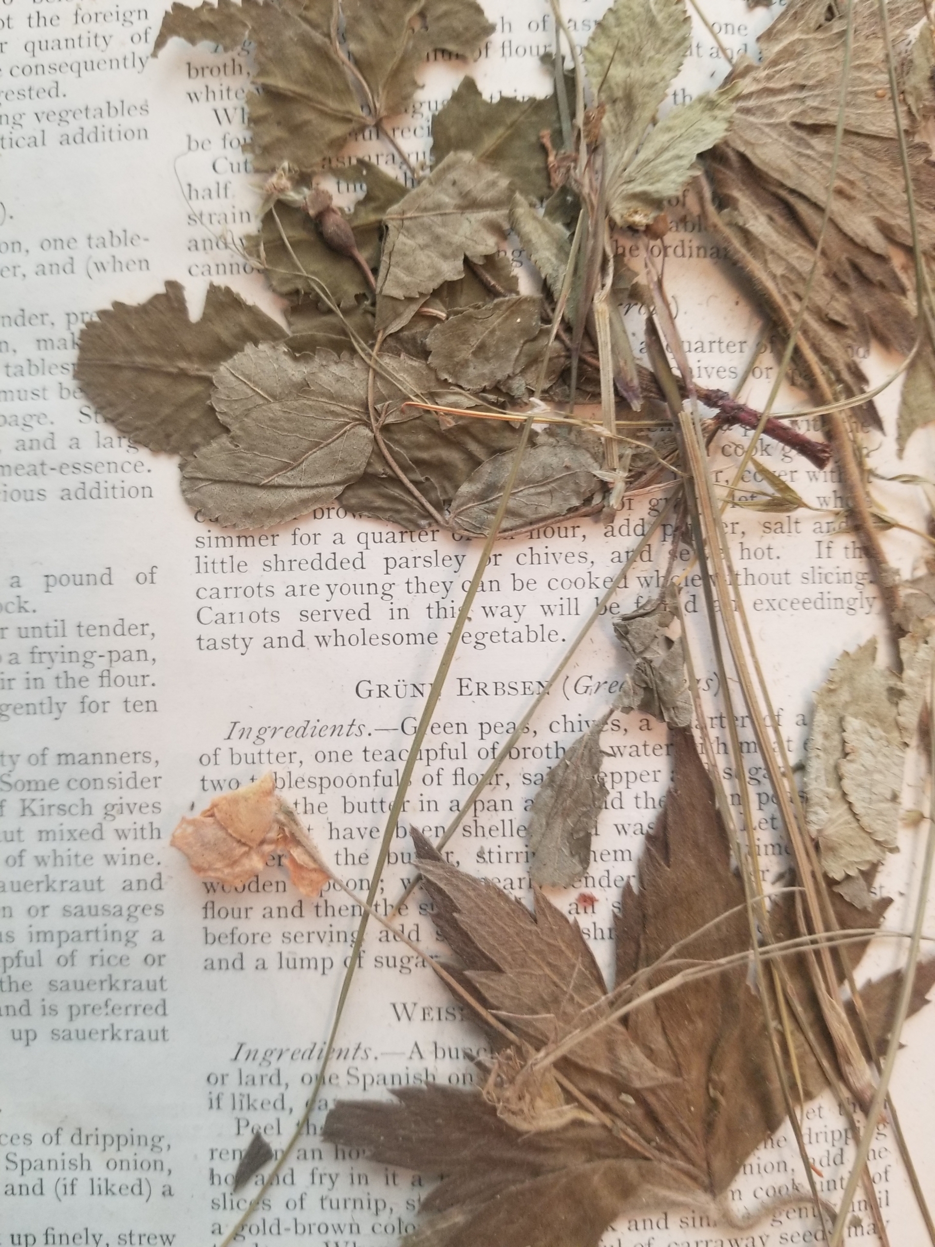
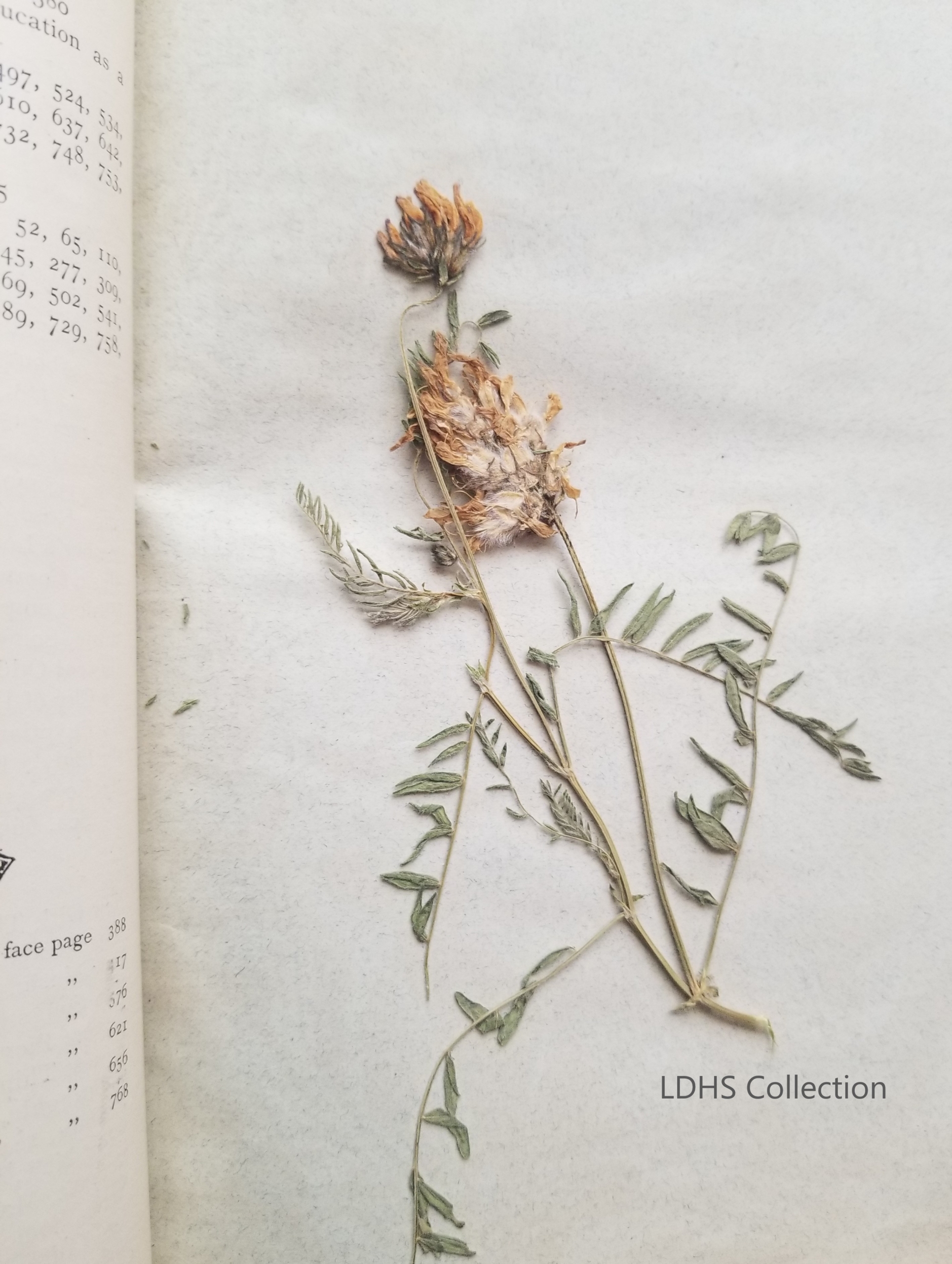
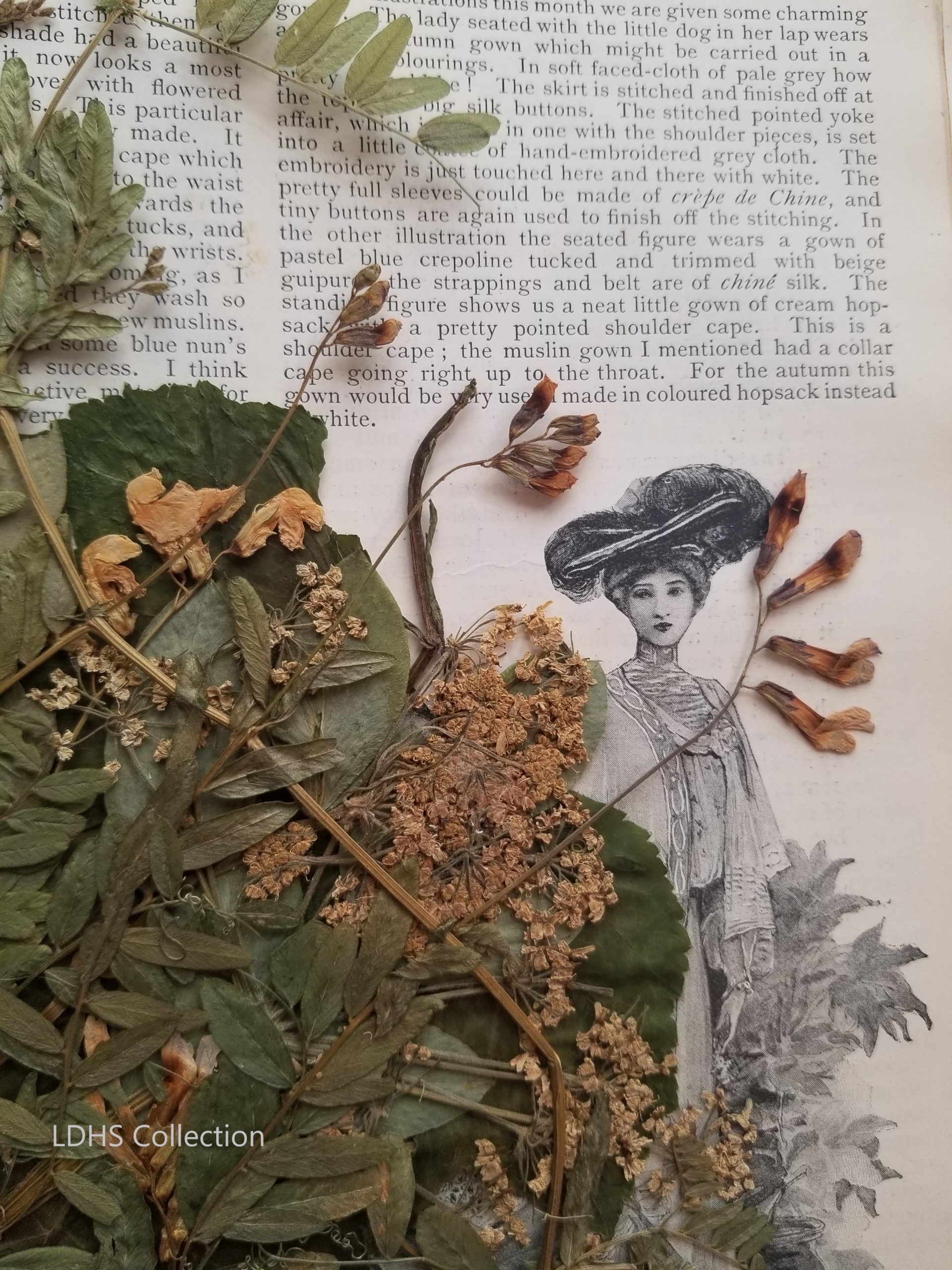
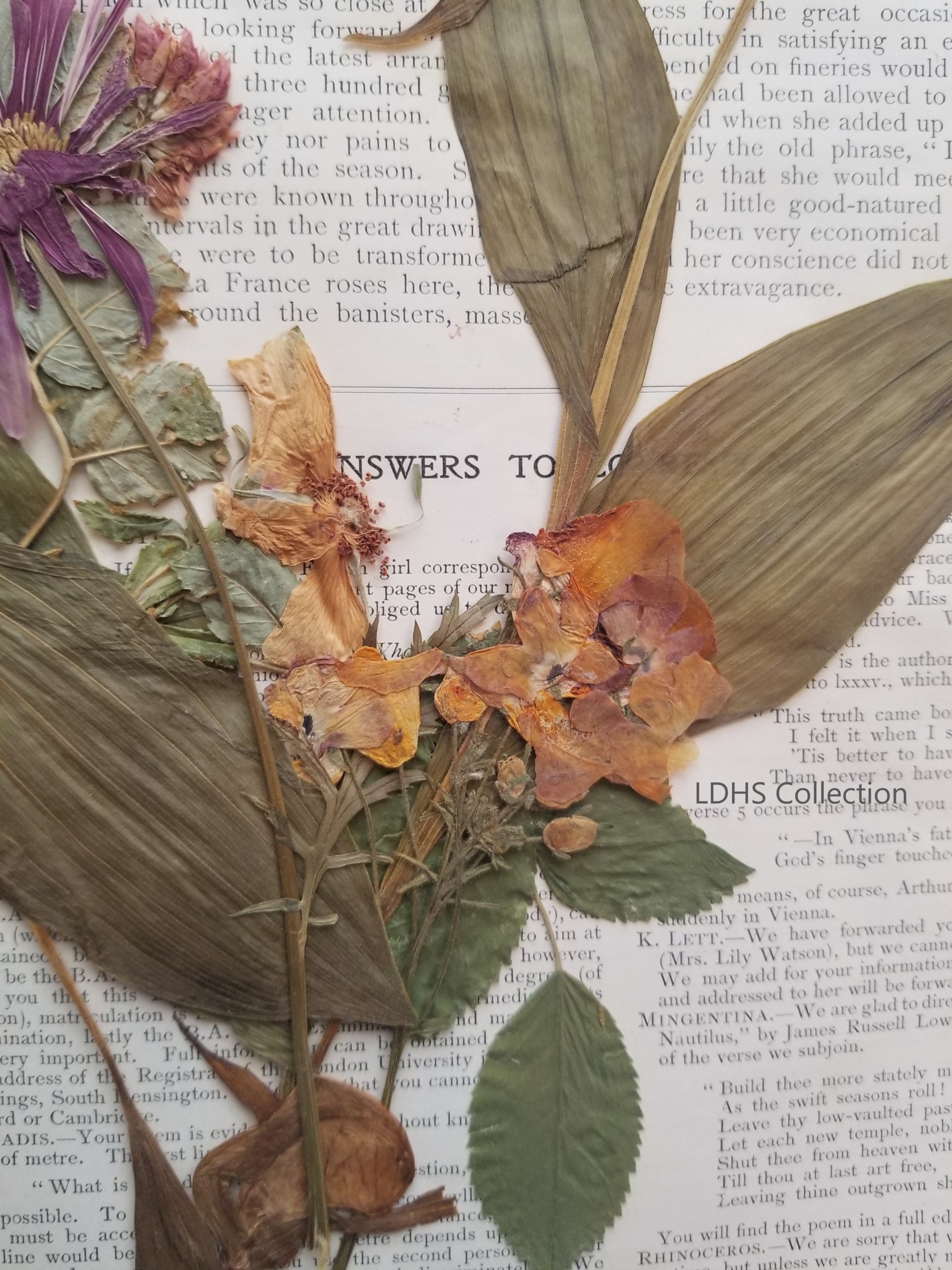
The colourful, wildflower filled landscape may be a thing of the past, but maybe this only adds to the excitement lovers of the wild experience when they catch a glimpse of many of the flowers mentioned here in their natural habitat. Though not in their natural habitat the museum experienced just such excitement not long ago. The museum collection had been holding a secret until recently. Between the pages of books were hiding pressed flowers from the Gull Lake area. The donor had unknowingly gifted dried flowers, both wild and garden varieties. Pictured here are the flowers as found between the pages, seemingly placed there many years ago by a nature lover. The identifications have not been provided by a professional, but some plants should have a familiarity for gardeners or modern nature lovers. Many of the plants appear to be common, but if the lily specimens are from the native, Western Red Lily, then this exciting find contains an example of a flower that is almost just a memory in our area. Reported to have grown in large numbers in the past, these flowers have been heavily disturbed, and exist in much smaller numbers today, hidden from cultivation and grazing. To learn more about this amazing find read our Field Note about the Herbarium Collection.
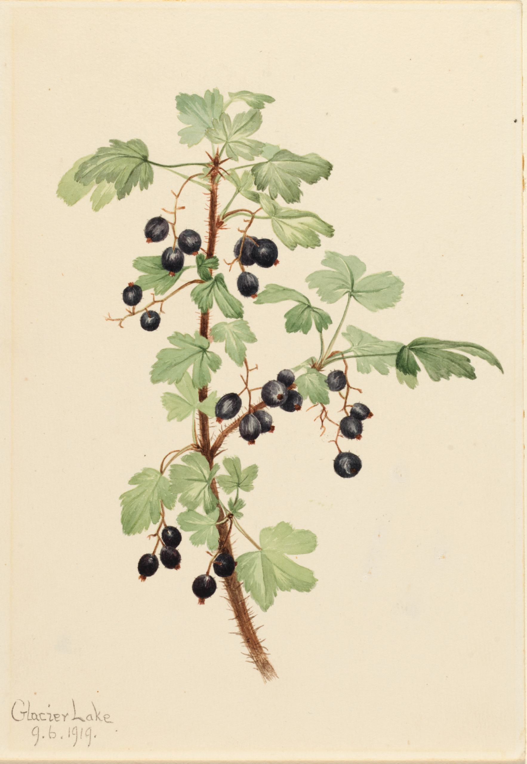
Mary Vaux Walcott

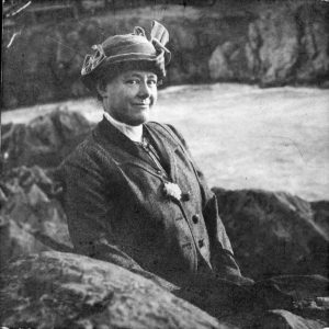
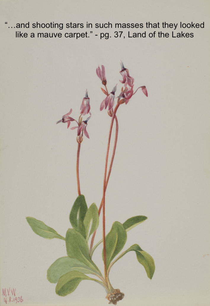
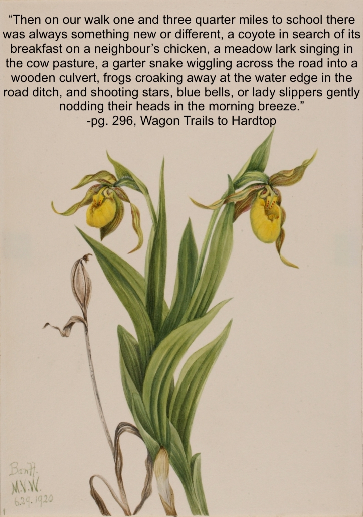
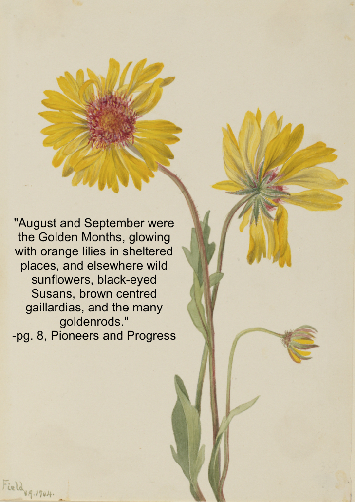
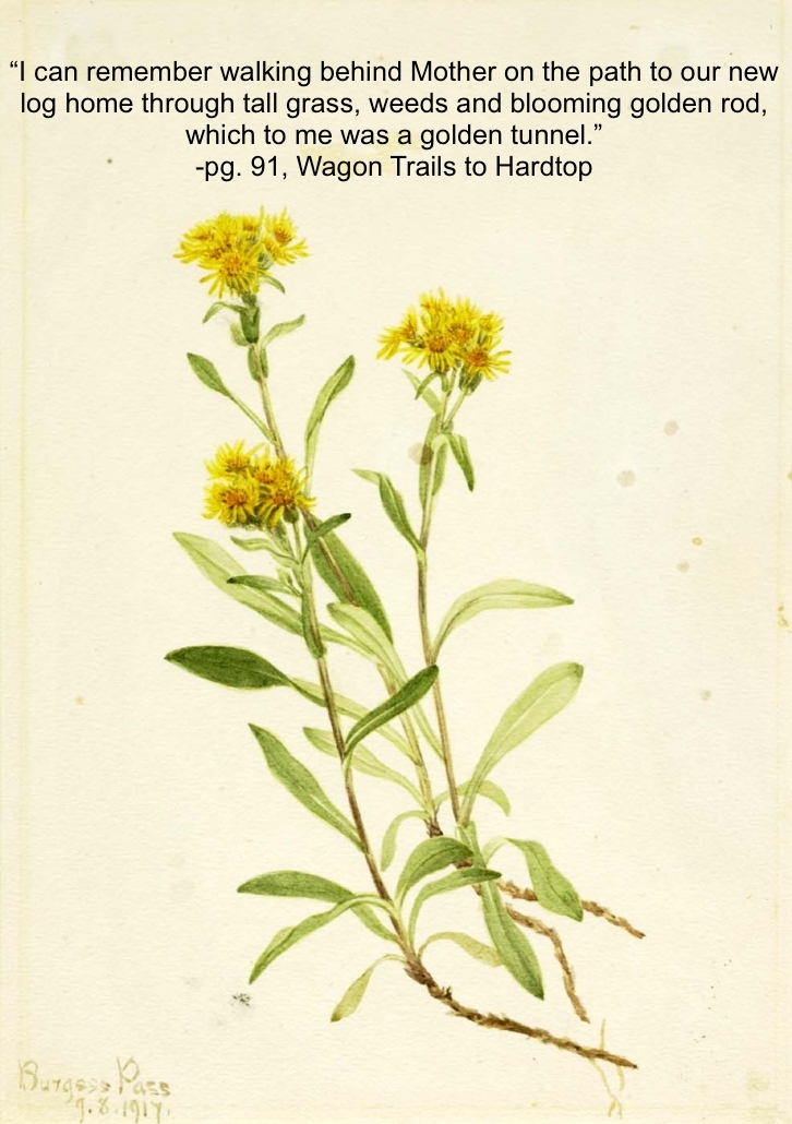
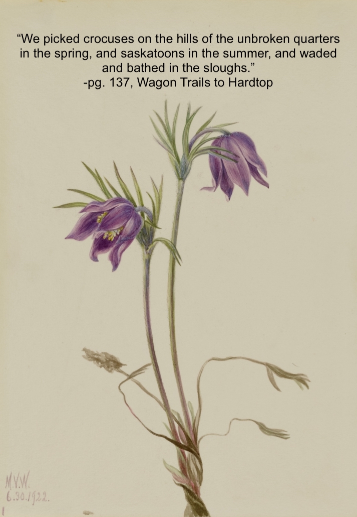
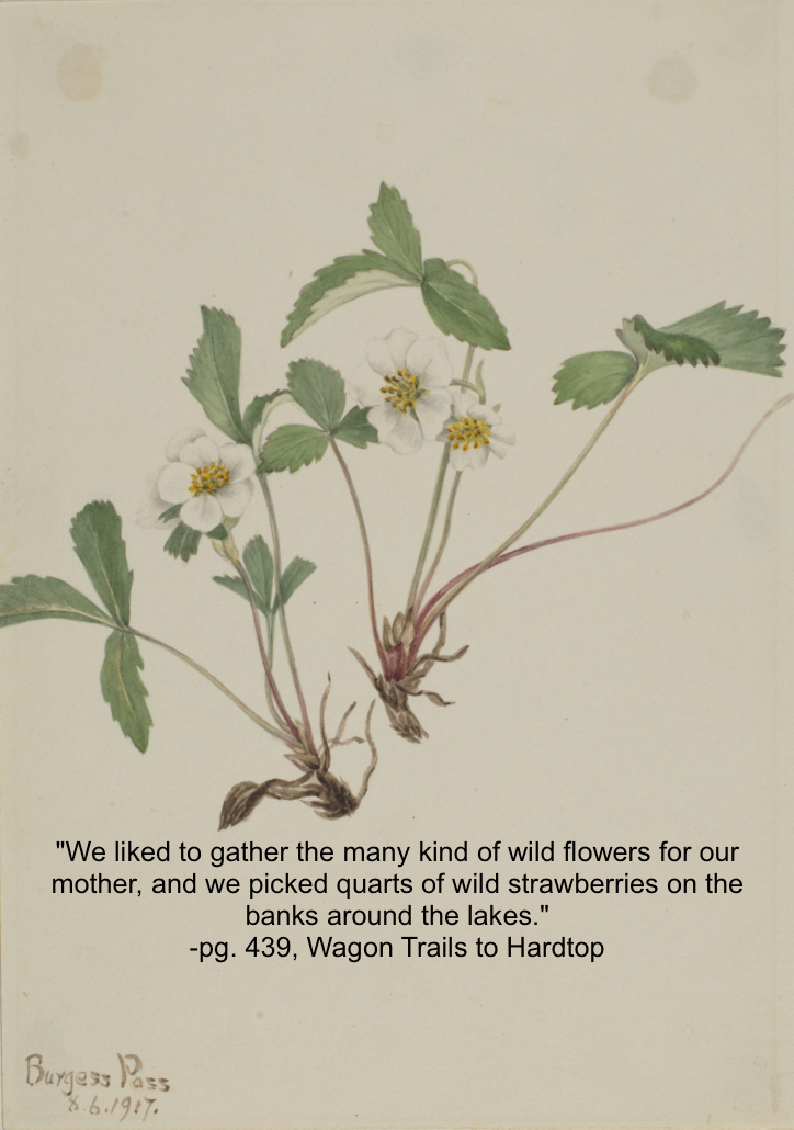
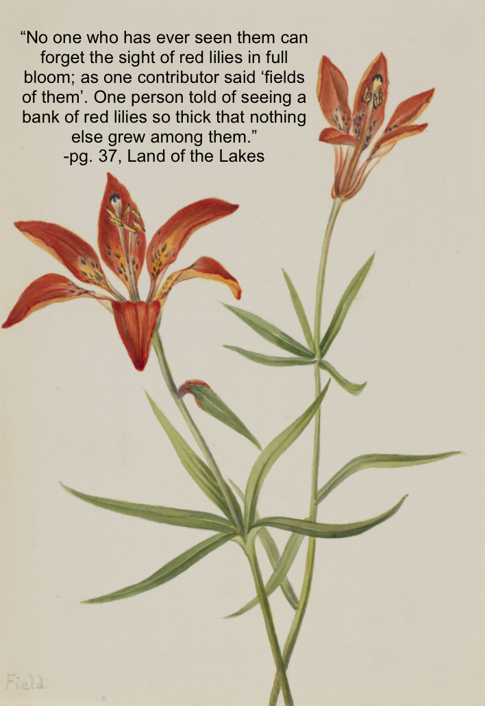
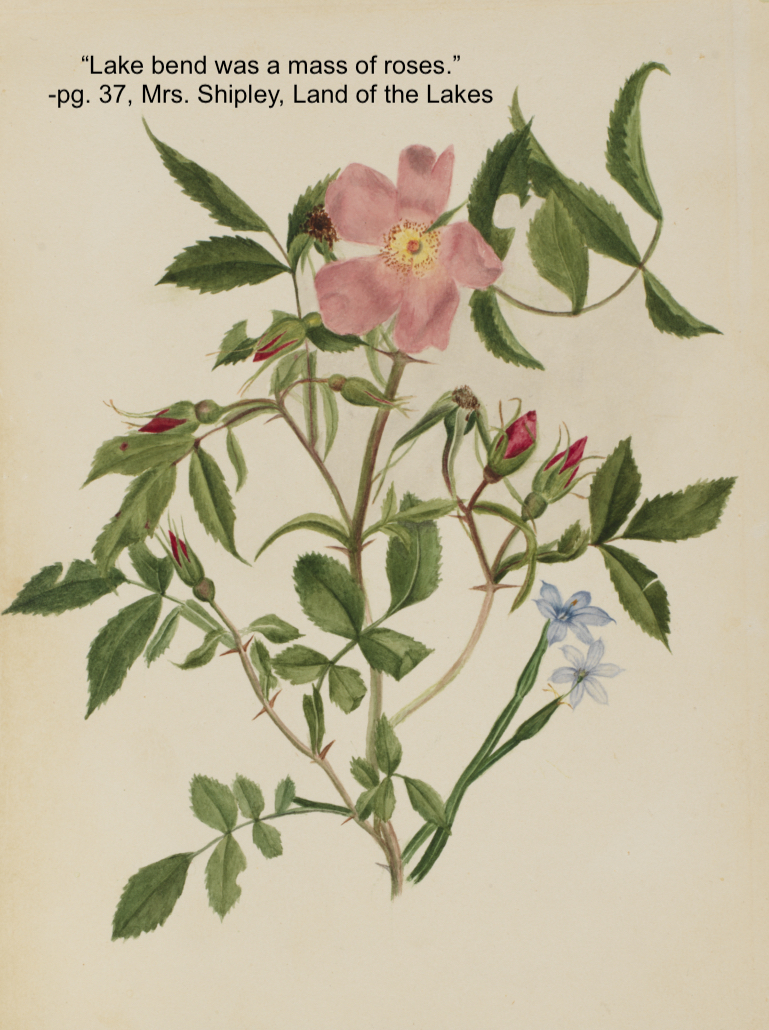
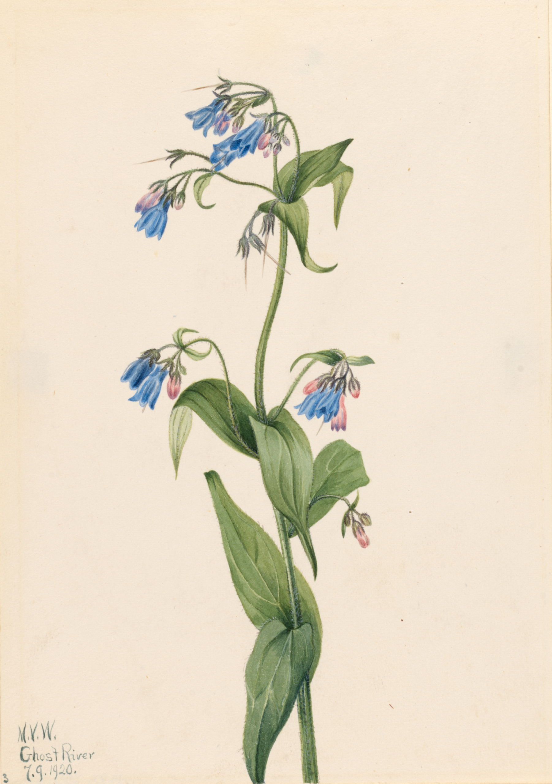
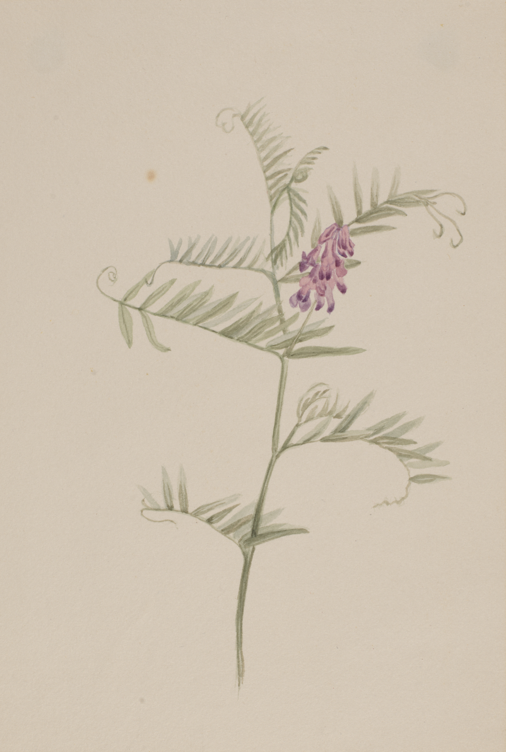
The botanical drawings featured here are all by Mary Vaux Walcott. Today her art is in the care of the Smithsonian American Art Museum. Mary was an American artist, botanist, and geologist that spent much of her time in the Canadian West. Mary is perhaps best known for her botanical illustrations and has been called the “Audobon of Botony”, but she was also an accomplished mountaineer with a peak near Jasper named after her, and provided important data on receding glaciers in the Canadian Rockies. The illustrations here demonstrate the beauty and diversity of botanical specimens in Alberta. If you look carefully in the bottom left corners of the illustrations you may see the names of many familiar locations in the province.
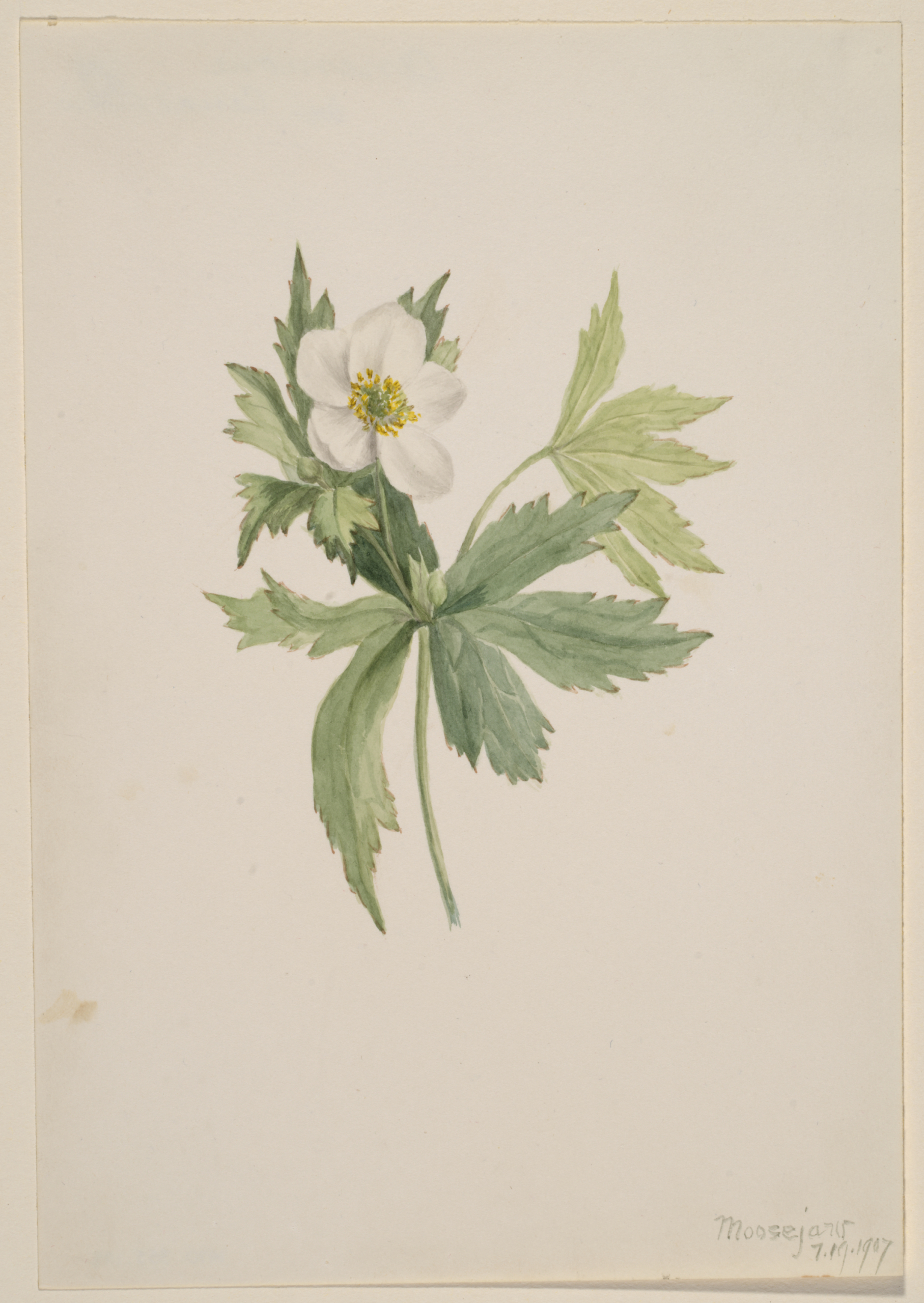
The illustrations displayed here have been paired with quotations that connect each plant to a past when they grew just like the blueberries and blanketed this landscape. 

Certainly, we have wildflowers here now, but not hundreds of thousands of acres of grassland studded with their blooms, only a few isolated spots where there is still unpastured native sod.

-pg. 37, Land of the Lakes

Want to see more?

Sign our Virtual Guestbook!

0 replies

Leave a Reply

Want to join the discussion?
Feel free to contribute!

Leave a Reply

Your email address will not be published. Required fields are marked *